 EcorisMap
CHAPTER 14
Review & Fix in the Web Version
Reviewing and fixing the data you bring back is easier on a large computer screen. EcorisMap offers a web version you can use directly from your browser, with no installation required.
- Web version: https://ecorismap.web.app/app
Opening the data you brought back
Run “Save data” on the phone’s Settings screen, then open it with “Load data” on the web version’s Settings screen. Saving to Google Drive is the easiest route: the file appears in the web version’s list as soon as you connect with the same Google account (see Export Data and Google Drive Integration).
If you only want to add a layer, you can also drag and drop the file onto the map (see Import Data).
Reviewing and fixing
The split view shows the map and the data list side by side, so you can handle data like a spreadsheet.
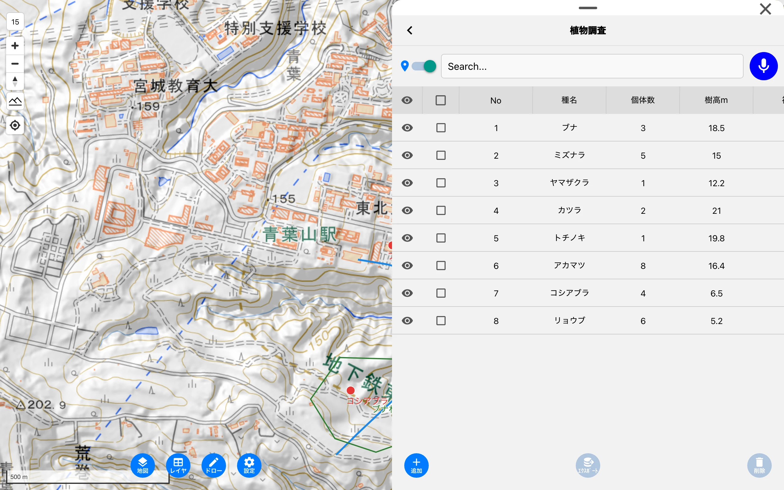
- Filter, sort, and toggle visibility in the list to find missing records and input mistakes (see Check Data).
- Fix attributes on the Data edit screen (see Record Data).
- Fix a wrong location with the “Position” button on the Data edit screen or with the draw tools (see Draw Points, Lines & Polygons).
- When you are done, write the data out with “Save data” and use it in your next survey (see Use It in the Next Survey).
Caution: Web version data is retained only during the browser session. After working, always save to a file or Google Drive with “Save data”.
Features of the web version
- Import by dragging and dropping a file onto the map. The supported formats are GPX / GeoJSON / KML / KMZ / ZIP / CSV / PDF / PMTiles, usually up to 5MB and up to 30MB for PDF and PMTiles.
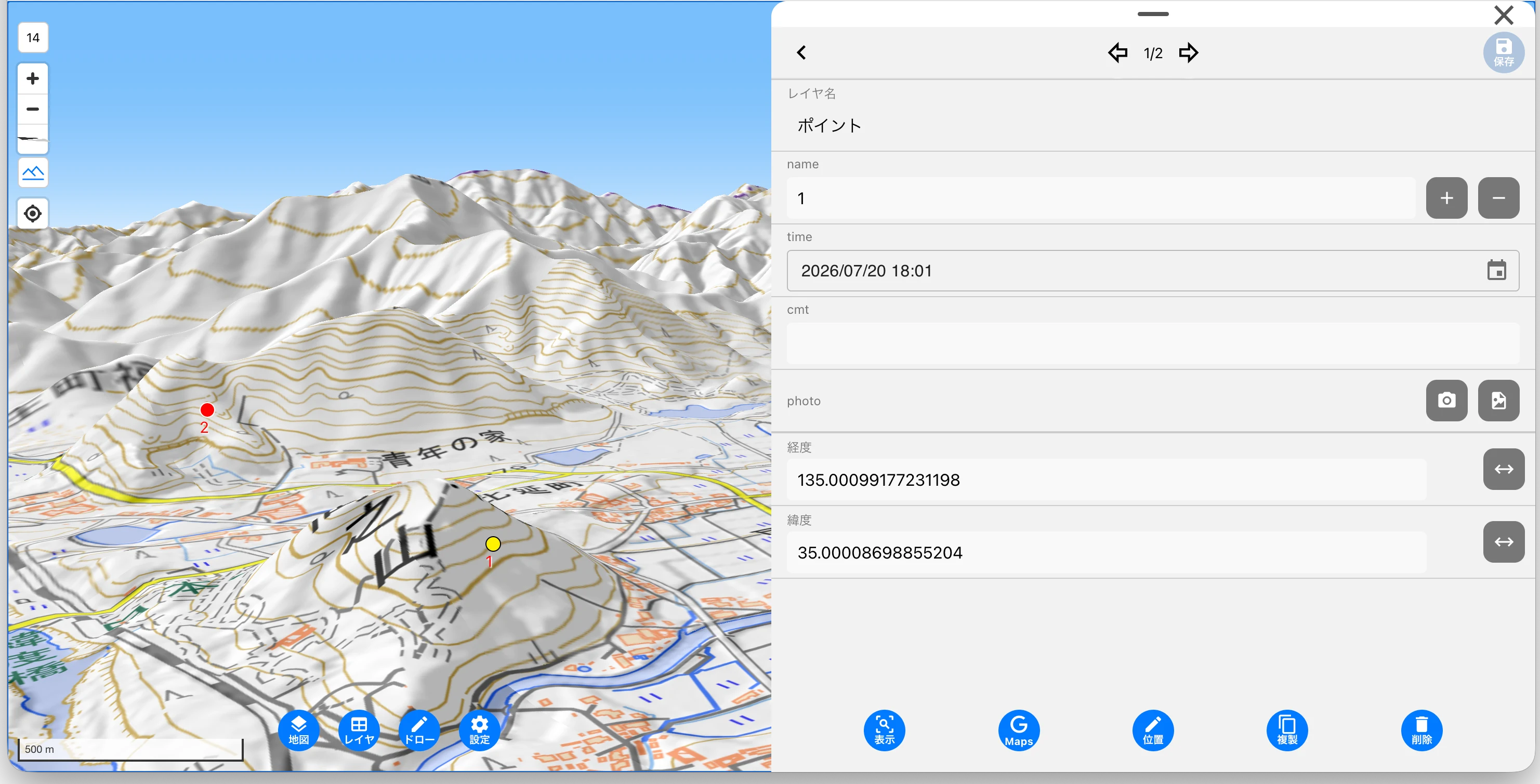
- Supports drag rotation, tilt (3D display), and terrain display of the map (toggle on/off with the terrain button).
- Your current location can be displayed and followed with the map’s location button. While it is shown, the location toggle for adding data and the “here” button in the draw tools also use it.
- Project management operations (settings, data management, export, deletion, delete all projects) can only be performed in the web version.
Feature differences from the mobile version
The following features are not available in the web version.
- Track logs (recording your path; you can still display saved tracks and tap them to check the passage time)
- Proximity Alert
- Downloading maps for offline use / offline mode
- Taking photos with the camera (photo attachment is by file selection only)
- Voice input for dictionary input (microphone)
- Restore from backup
- Fetching PDF maps on external servers
Tip: A handy workflow is to prepare recording layers on the web version, record in the field on the mobile version, and organize the data you bring back on the web version. To transfer between devices, use Save data (zip) or Google Drive. See Survey Workflow for the overall flow.