 EcorisMap
Field surveys,
made simple.
EcorisMap is a free mapping app that brings everything you need for fieldwork into one place — from map display and location recording to data entry and putting your data to work.


Open Web App — runs in your browser, no installation required
Everything you need for surveys
From recording in the field to using your data back at the office.
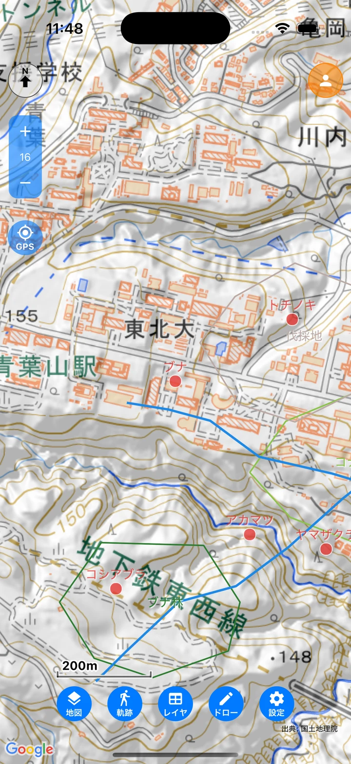
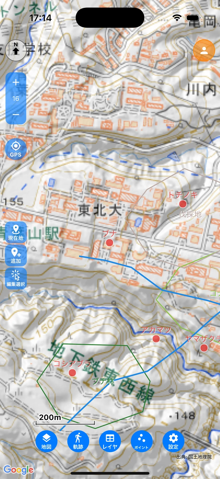
Versatile Base Maps
Load and overlay maps in many formats: XYZ tiles, vector tiles, PMTiles, and georeferenced PDFs.
Offline Maps
Bulk-download maps and use them deep in the mountains with no signal.
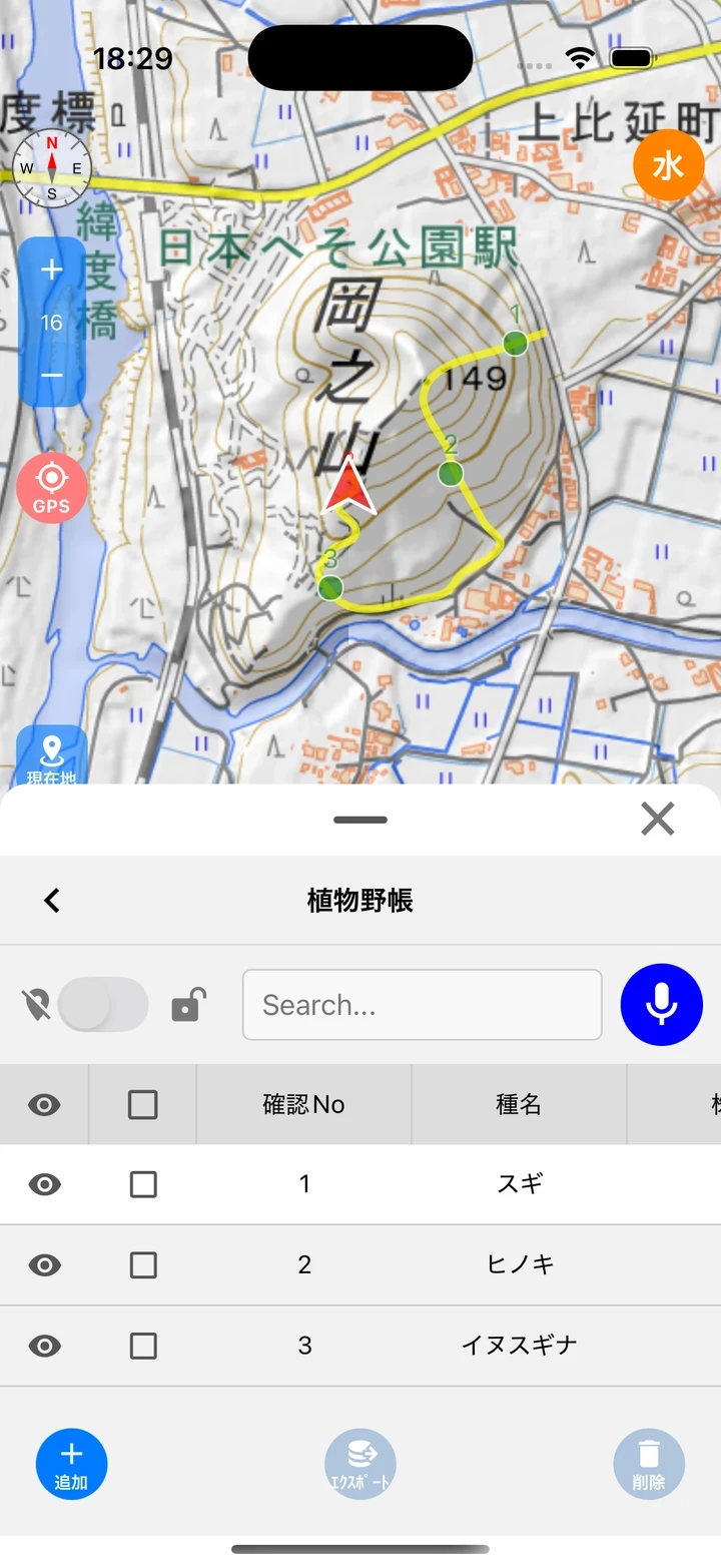
Points, Lines & Polygons
Add and edit features right on the map, plus freehand map memos (pen, stamp, and brush).
Custom Survey Forms
Design your survey fields freely with lists, checkboxes, photos, dictionaries, and more. Dictionary fields support voice input.
Track Logs & Proximity Alerts
Record your track in the background, with voice alerts when you approach registered points.
GIS Data In & Out
Import GeoJSON, GPX, KML, KMZ, and CSV; export CSV, GeoJSON, GPX, and KML. Smooth round-trips with QGIS and other GIS.
Geospatial PDF Export
Output maps and data as geospatial PDFs — print them as paper maps or load them into a GIS.
Sharing & Backup
Save your full dataset to your own Google Drive (coming in the next release). Team sharing protected with end-to-end encryption is also available (limited).
Screenshots
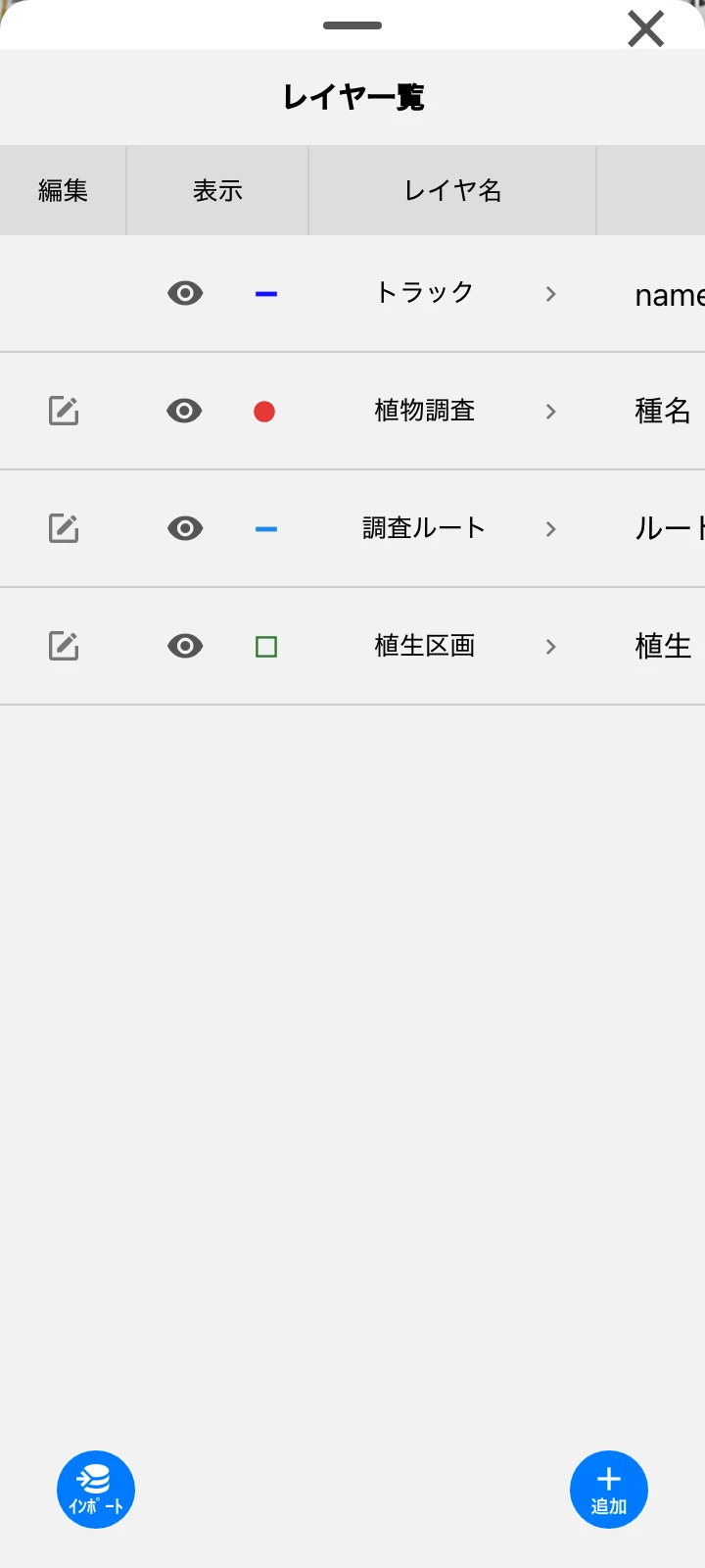
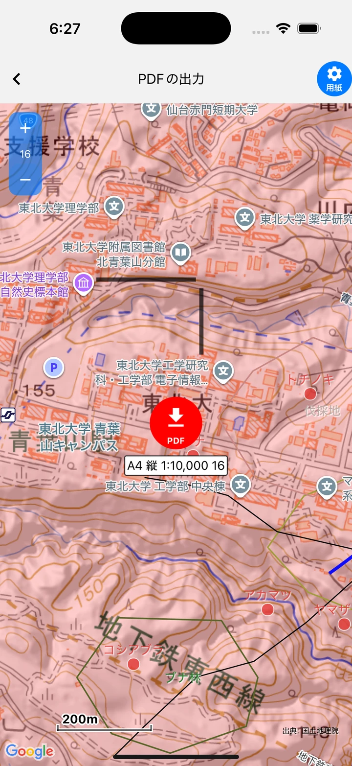
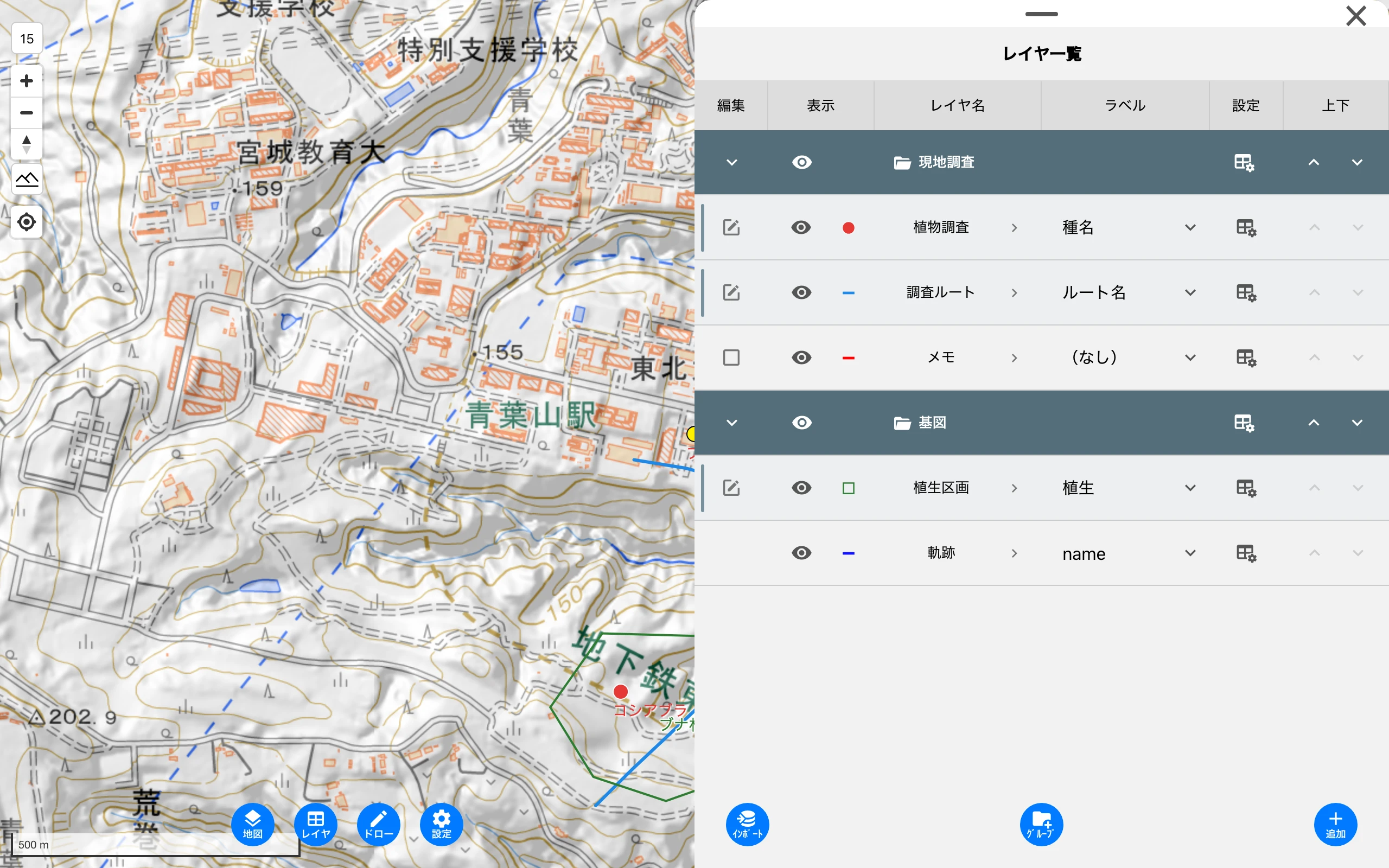
On iPhone, Android, and your computer
Available on iOS, Android, and the web. Use your smartphone in the field and the web version at your desk.
* Some features such as GPS, track logging, and offline maps are not available in the web version.
Requirements: iOS 16.6+ / Android 7.0+ / a recent Chrome, Edge, Safari, etc.
Developed as open source
EcorisMap is an open-source project hosted on GitHub. Bug reports and feature requests are welcome.
View on GitHub