 EcorisMap
CHAPTER 03
Import Data
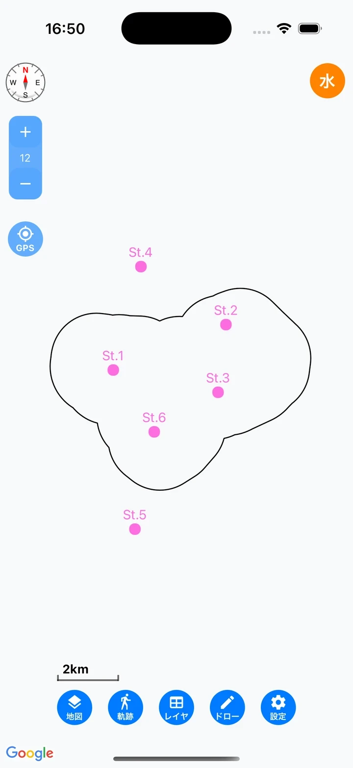
Load files such as GeoJSON and GPX to display them on the map as layers. Importing past survey results and survey sites in advance lets you refer to them while recording in the field.
Loading files
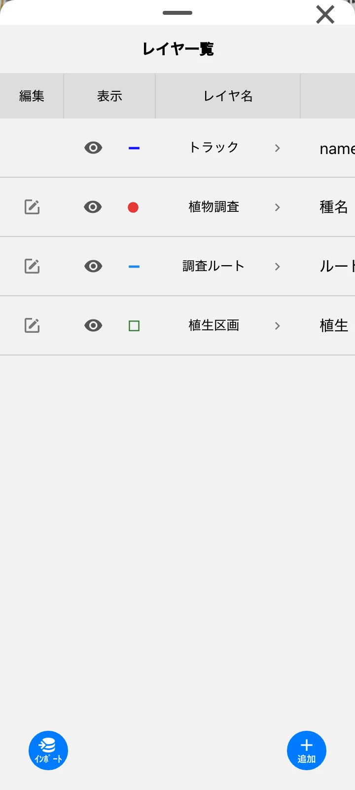
Load data with the “import” button on the Layer list screen. In the web version, you can also drag and drop a file onto the map.
 |  |
| Format | Content |
|---|---|
| GeoJSON (.geojson) | Points, lines, and polygons (type is auto-detected) |
| GPX (.gpx) | Loads both waypoints (points) and tracks (lines) |
| KML (.kml) / KMZ (.kmz) | Loads all contained geometries |
| CSV (.csv) | Restores coordinates from the geometry column. Supports the WKT formats POINT/LINESTRING/POLYGON. Without the column, it becomes “No location” data. Use UTF-8 encoding (the mobile version does not support Shift-JIS) |
| ZIP (.zip) | Data with layer settings (EcorisMap’s export format). Loads the layer structure and dictionary |
| JSON (.json) | Layer settings only |
Note: The maximum file size is about 100MB when loading with the “import” button, and 5MB for drag and drop in the web version.
Loading a saved data file
Loading a data file (.zip) created with Save data restores your data, layers, and map settings together.
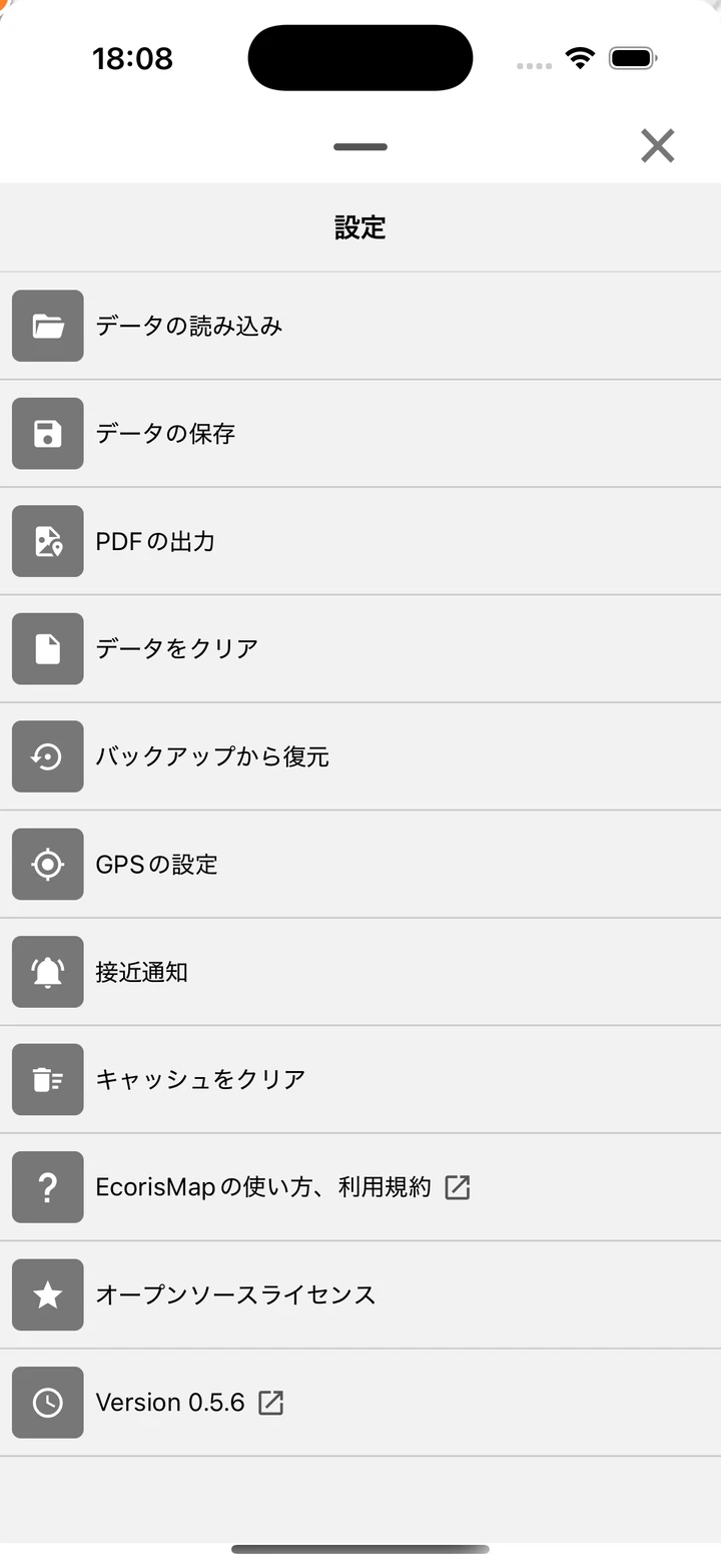
- Tap “Load data” on the Settings screen.
- Choose the source: “This device” or “Google Drive” (see Google Drive Integration).
- Choose the file and run it, confirming “Current data and settings will be overwritten.”
- When loading finishes, the map moves to the extent of the loaded map.
Note: Loading brings in your data, layers, map settings, and the map’s display extent; the app’s various settings are kept as is. An automatic backup is created just before loading, so you can restore from a backup if you overwrite something by mistake.
Tip: This is also how you pick up on your phone the survey forms and maps you prepared in the web version. See Use It in the Next Survey for the steps.