 EcorisMap
CHAPTER 13
Export Data
Write out your recorded data as a ZIP file. Use it for analysis in a GIS, or as the starting point of your next survey. To save everything on the device in one file, use “Save data” on the Settings screen.
An exported ZIP also serves as a backup of your data. Recorded data lives only on your device, so export at each milestone of your survey and keep a copy on a computer or in the cloud.
How to export and what is included
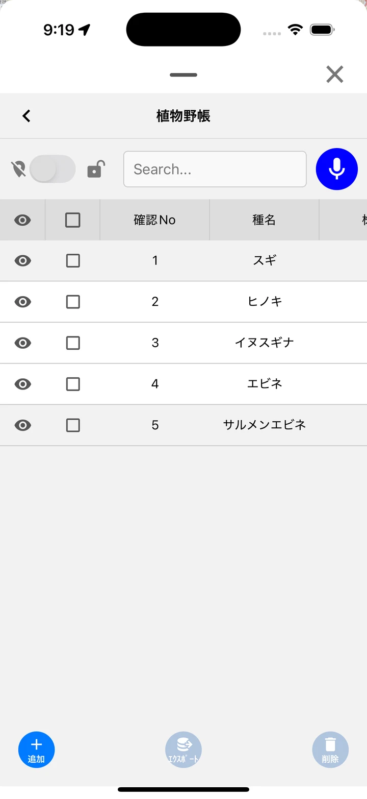
Check data in the Data list and tap “export” to write it out as a zip file.
Where the file goes depends on the platform:
- Android — A “Choose Export Destination” dialog appears; choose “Save to device” (the Download folder) or “Share to another app”.
- iOS — The share sheet opens; choose where to save or which app to share with.
- Web — The file is downloaded by the browser.
- Included formats (auto-generated according to the layer type):
| Format | Target |
|---|---|
| GeoJSON | Point / Line / Polygon |
| KML | Point / Line / Polygon |
| CSV | Point / Line / Polygon / No coordinates |
| GPX | Point / Line only |
| JSON | Layer settings (always included) |
| SQLite | Dictionary data of dictionary fields |
| Photo | Image files of photo fields |
- For how to edit an exported ZIP in QGIS and bring it back into EcorisMap, see Use It in the Next Survey.
Exporting a track together with photos: A recorded track can also be exported from the export button in the track summary. In addition to GPX, GeoJSON, and a KMZ for Google Earth, the photos taken during that period go into the zip as well (see Use GPS).
Save data
“Save data” on the Settings screen saves your current data and settings to a zip file. Choose the destination in “Select destination” (see Google Drive Integration):
-
Android — “Save to device” (the Download folder) / “Share to another app” / “Google Drive”
-
iOS — “Share” (save to Files or share to another app) / “Google Drive”
-
Web — “Save to device” (downloaded by the browser) / “Google Drive”
-
The file name is
ecorismap_datetime.zip. Photos are always included. -
You can restore the saved zip with “Load data” or with import in the Layer list (see Import Data).
-
Unzipping it gives you the overall configuration file and one folder per layer. You can open the
.geojsonand.csvinside directly in QGIS and other GIS software, without loading anything into the app.
The zip is laid out like this.
ecorismap_2026-08-13_10-05-00.zip
├─ local_2026-08-13_10-05-00.json
├─ VegetationSurvey_01J9XA.../
│  ├─ VegetationSurvey.geojson
│  ├─ VegetationSurvey.kml
│  ├─ VegetationSurvey.csv
│  ├─ VegetationSurvey.gpx
│  ├─ VegetationSurvey.json
│  ├─ VegetationSurvey.sqlite
│  └─ 0001.jpg
└─ AnimalSurvey_01J9XB.../
└─ ...| File | Contents |
|---|---|
local_<date>.json (root of the zip) | The overall configuration: data, layers, map settings, and app settings in one file. This is the file used when loading |
<layer name>_<layer id> | One folder per layer. The layer id at the end of the folder name identifies the original layer, and imports are matched by that id |
<layer name>.geojson | Point / line / polygon data |
<layer name>.kml / .csv / .gpx | The same data in other formats (GPX for points and lines only; CSV also covers “no coordinates” layers) |
<layer name>.json | The layer definition (fields and style) |
<layer name>.sqlite | Dictionary data (when the layer has a dictionary field) |
| Image files | Photos from photo fields |